At the trailhead, conditions are updated daily. Rough riverbed travel is on point. Need to know: Maori called this glacier Ka Roimata o Hinehukatere. The glacier was later named after Emperor Franz Joseph I of Austria by the German explorer Julius von Haast in 1865.
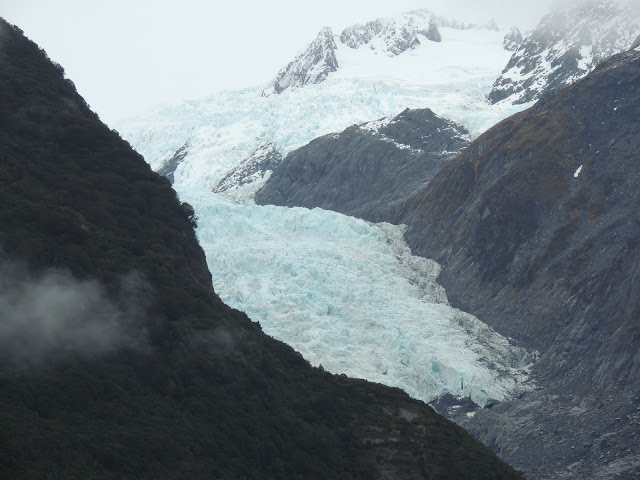
En route to the glacier, we took a spur to a viewing point. See the stubby glacier, perched up there in the middle of that mountain saddle? Goodness, this photo makes it look like we're heading for the witch's castle in the Wizard of Oz. It was raining when we left our campground, but lifted along our walk. You'll see.
Now here's the heartbreaking part, a kind of a sad flipbook of glacier loss over the years.Together with the Fox Glacier 20 km (12 mi) to the south, it is unique in descending from the Southern Alps to less than 300 metres (980 ft) above sea level, amidst the greenery and lushness of a temperate rainforest.
2010
(the five-year difference between this and the next is startling)
2015
Reading John Muir's enthusiastic 1929 description sharpens the loss of this once-noble monster.

Waterfalls feed the (currently low) riverbed.
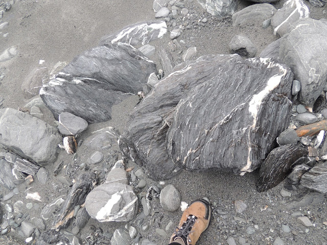
This hike was so different from the ones we've been taking, over riverbed littered with stones, boulders, and slabs. It appears that Art is not far from the glacier face, but it took a solid hour to walk to it, the trail climbing at the end so we could approach the glacier's vertical face.
Flowing glacial ice scours the valley, breaking off large boulders and grinding smaller rocks to dust. At the terminal face, meltwater is milky with rock dust.
Looking back, a different drama
Hints of turquoise
in this close-up of glacial ice
And we're still walking. If the sun had been out, we'd have fried. It was a pleasant 50 degrees F.
Some north-facing rocks had this burnt orange color. Lichen?
Nice trail here. The signs remind us that almost literally under our feet lies a great crack in the earth--the Alpine Fault. Along the crack, two plates of the earth's crust collide and slip past each other, a collision that pushes up NZ's Southern Alps (which Maori call Ka Tiritiri o te Moana) 10-20 mm each year. The height and location in this region is ideal for glacier formation.
Signs tell the story
Looking back from the top of a more vertical path (see the ant-people down there?). The overcast day was kind of thrilling.
As close as they'll permit you to go. This cheesy cut-out ranger cracked me up. But the next picture is my absolute favorite from our adventure.
I asked these guys if they'd pose, pointing toward the cut-out. They didn't say a word--just lined up and made the hand gesture as though it were the most normal thing (though I saw a look in their eyes I've seen before in my nieces' and nephews' when I propose something batty). Also, Trevor, is that you in the middle?
They call this hike a 1.5 hour return (meaning the round-trip takes that long), but if you stop to make 134 photos and marvel at how tiny you feel, add at least 40 minutes.


Ahhhhha, yes!!! Bizarro Trev confirmed. - Cousin Marc
ReplyDelete